The spring squall lines that come through Dallas rarely produce just one type of damage. Wind moves the membrane edge, hail compromises the field, and water follows both paths. We document all three perils and build a scope package that separates what each one did.
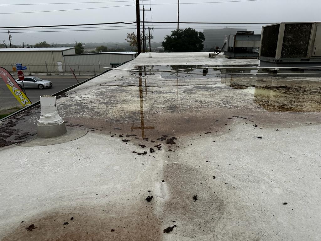
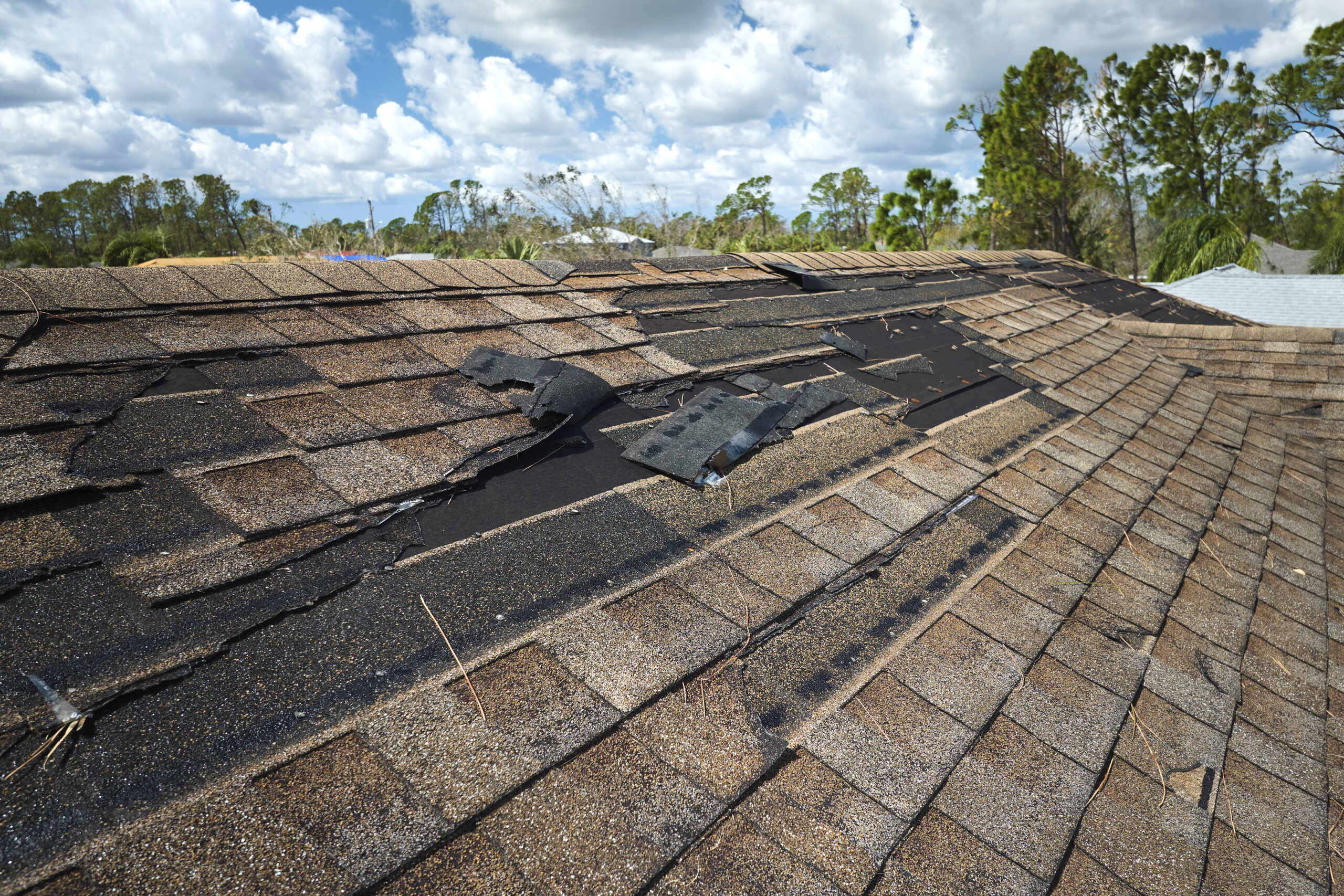
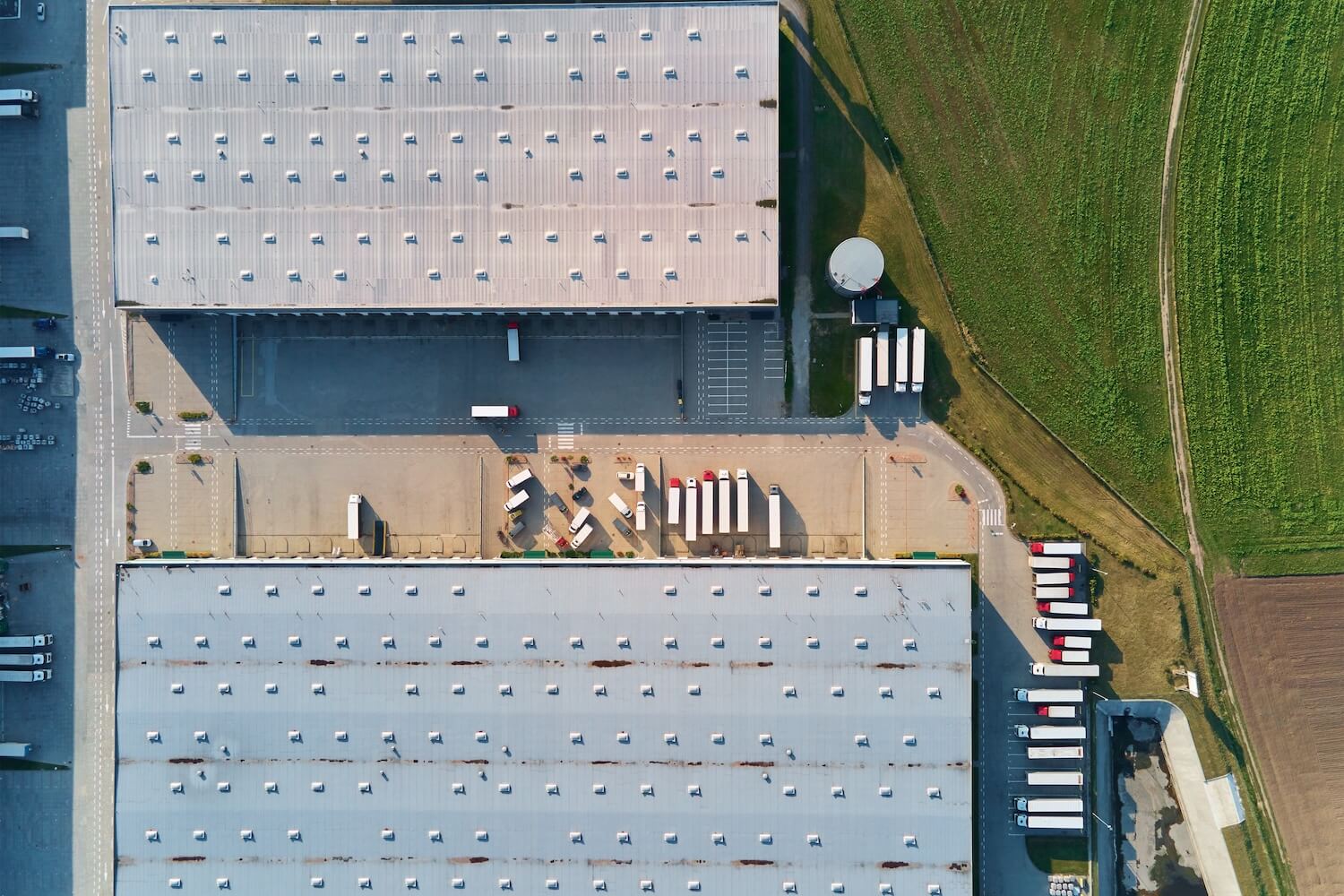
Dallas's spring storm season is not a sequence of single-peril events. A typical squall line crossing from the west brings 60-mph straight-line gusts, 1.5-to-2-inch hail, and three inches of rain in two hours. The roof that survives those conditions in sequence may have perimeter membrane lift from the wind, mid-field impact damage from the hail, and active water intrusion at every compromised point. That is a multi-cause damage scenario, and documenting it as a single undifferentiated 'storm damage' scope is how claims get complicated.
We scope multi-cause storm damage by walking the roof systematically and documenting each peril's signature separately. Wind damage has a direction and a zone distribution that correlates with the storm track. Hail damage has an impact density that correlates with the hailstone size and trajectory. Water damage has infiltration paths that follow the compromised points created by both.
We are roofers. We read roofs and produce written scope packages that the people handling your claim can use.
Insurance policies often distinguish between named perils. Wind damage and hail damage may carry different deductibles, different coverage limits, or different attribution requirements depending on your commercial property policy.
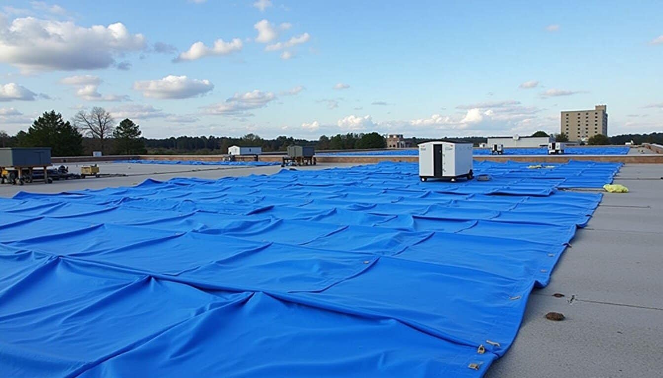
We document multi-cause damage with separate photo indexes for each peril: wind zone photos keyed to the storm track direction, hail impact photos with size reference and GPS tagging, water infiltration photos at each identified entry point. The zone diagram shows each peril's footprint as a separate overlay.
This level of documentation is more work than a single undifferentiated scope. It is also the documentation that gives the people handling your claim the clearest picture of what happened to your roof.
Squall-line events with pre-existing ponding: Dallas flat roofs that already had drainage problems come into a storm event with standing water sitting on compromised membrane. The wind load on that standing water adds hydrostatic pressure at every low point and seam. Hail impact on standing water transmits energy through the water column rather than dissipating at the membrane surface. The damage pattern is more severe than either peril would produce independently, and the pre-existing drainage failure complicates attribution. We document drainage conditions separately from storm-caused damage in every post-event inspection.
Late-season freeze following a wet storm: Dallas occasionally sees a fast-moving cold front drop temperatures below freezing within 24-48 hours of a major storm event. Water that infiltrated during the storm freezes in the insulation and at seam edges, expanding and widening breach points that started as small storm-caused openings. The final damage visible at inspection may be much larger than the storm event would have produced without the freeze. We note temperature event sequence in our documentation when the building's damage pattern is consistent with freeze-expansion.
Sequential storms in the same spring season: The 2023 season produced three documented 1.5-inch+ hail events across different parts of the DFW metro within six weeks. A building that sustained damage in the first event and had not been inspected accumulated additional damage in the second event. Attribution in that scenario — which damage is from which storm — requires comparing documented storm dates against building inspection timelines. We build that documentation trail when multiple events are involved.